LEG 1 – IMAPPIVUT – ROV PROGRAM, DFO BENTHIC REFUGES AND ITTAQ
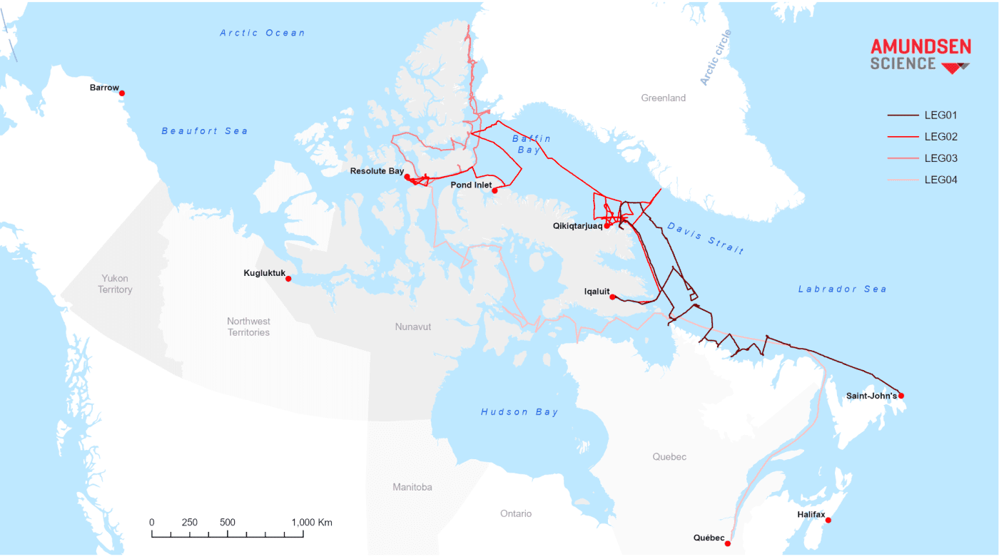
(13 July – 10 August) St. John’s to Iqaluit
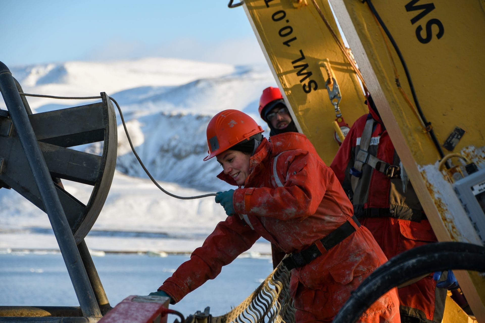
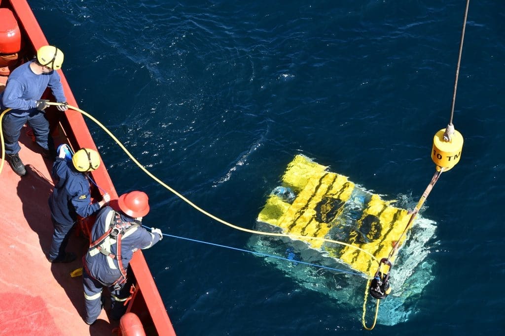
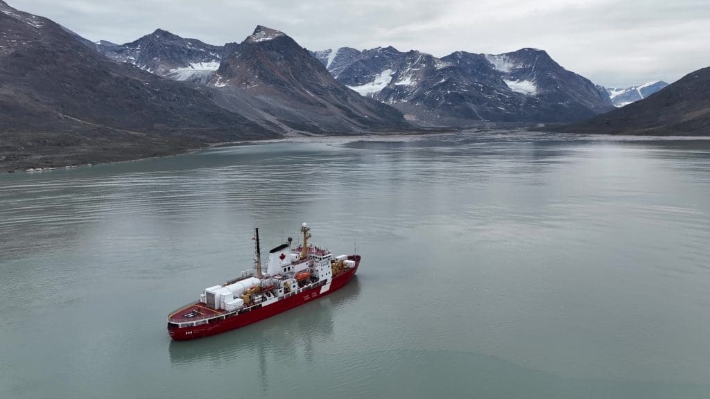
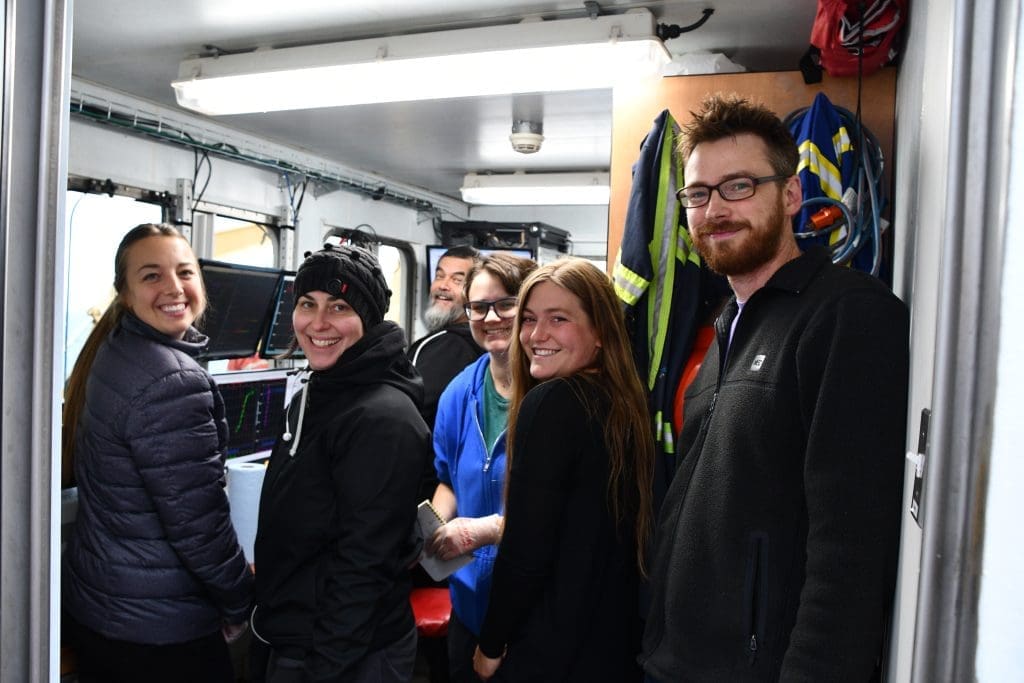
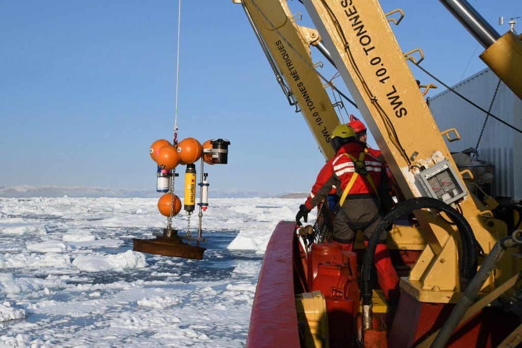
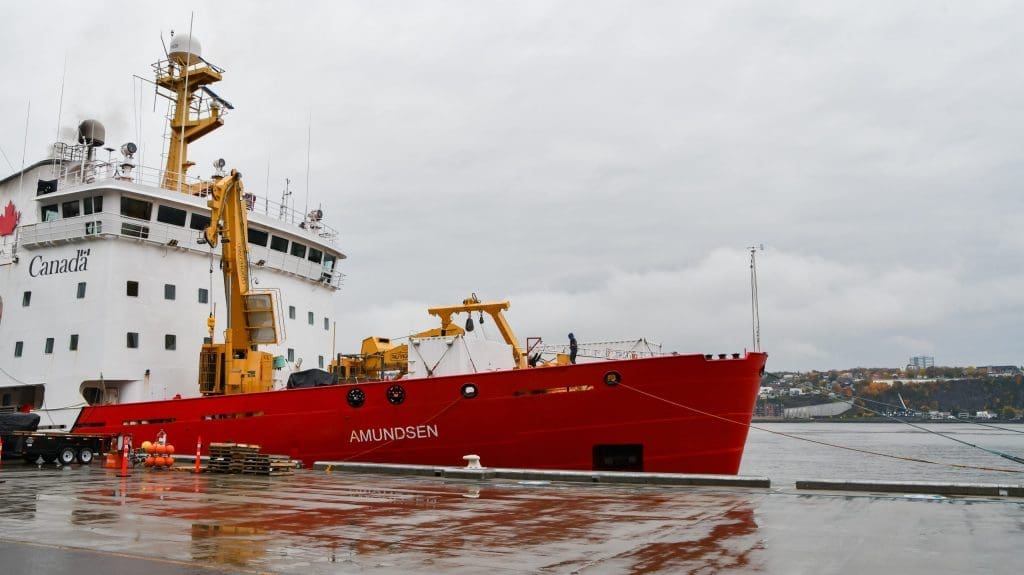
This Leg encompasses four programs, including the Imappivut initiative, led by the Nunatsiavut Government. A science and cultural event was organized in Nain, during which community members participated in a guided tour of the CCGS Amundsen and its pool of scientific equipment and the scientific team received guided tours of the Nunatsiavut Research Centre and the Community Centre.
LEG 2 – KEBABB, ARCTICNET, NOW SURVEY AND SENTINEL NORTH
(10 August – 7 September) Iqaluit to Resolute Bay
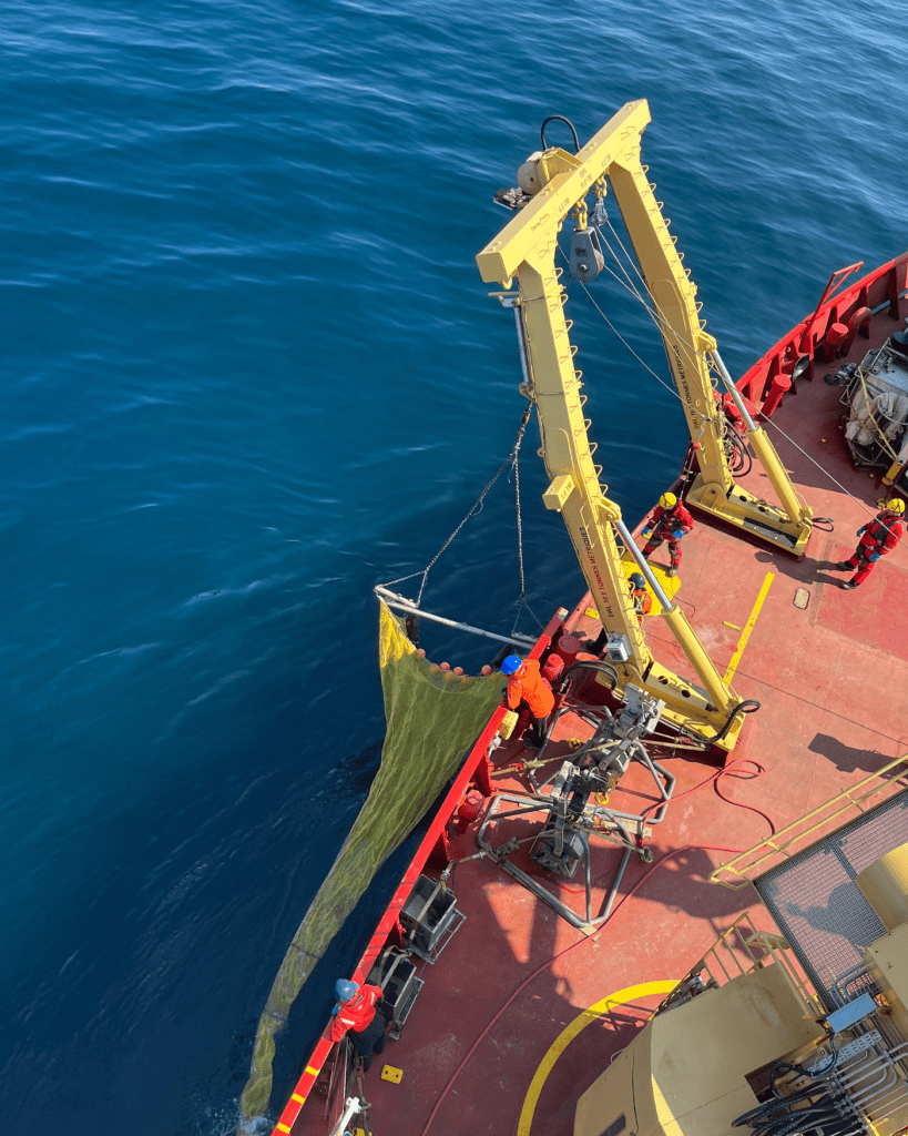
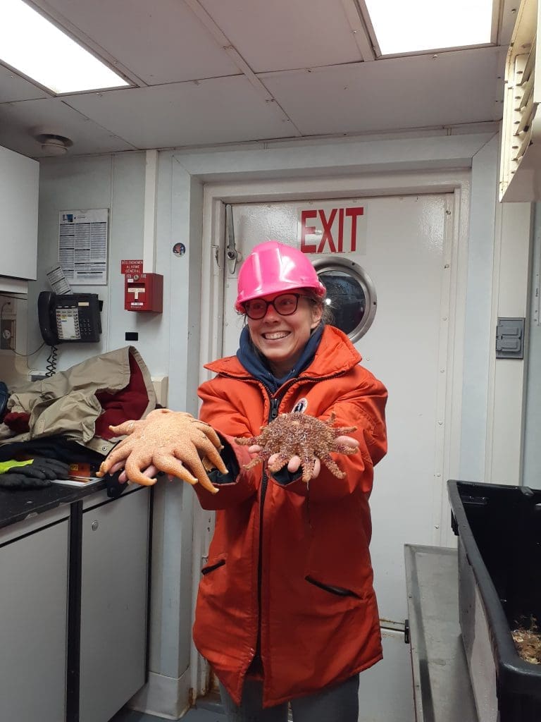
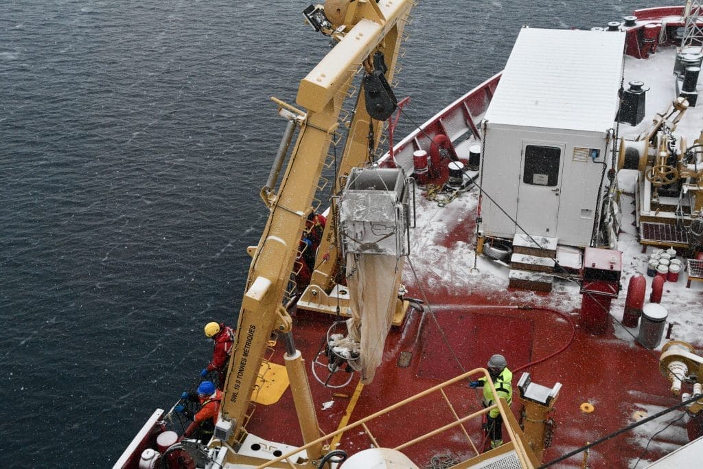
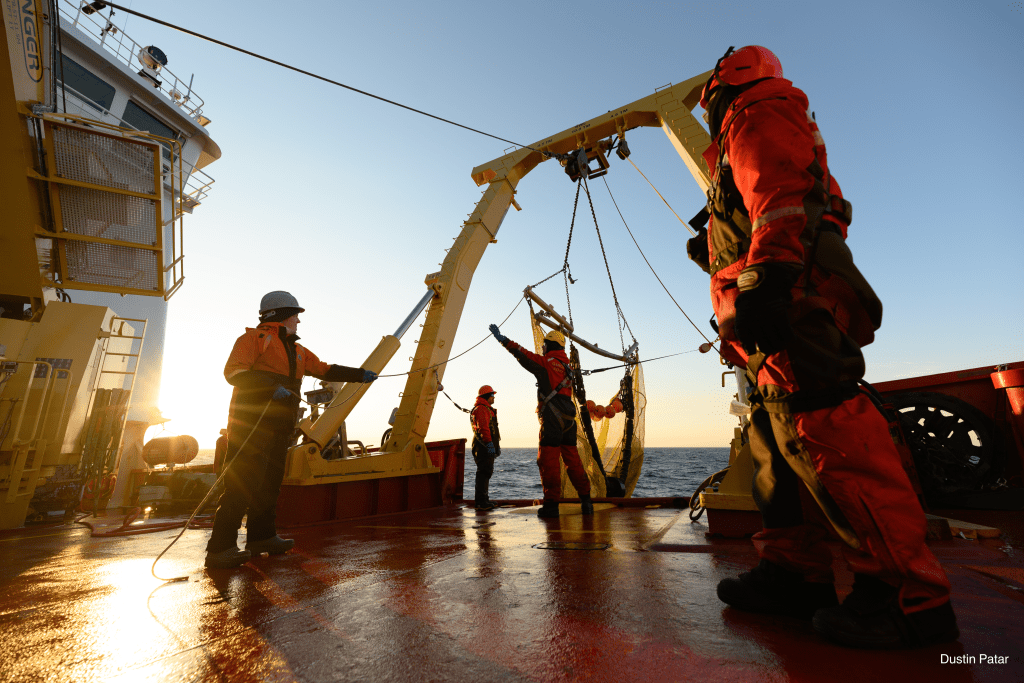
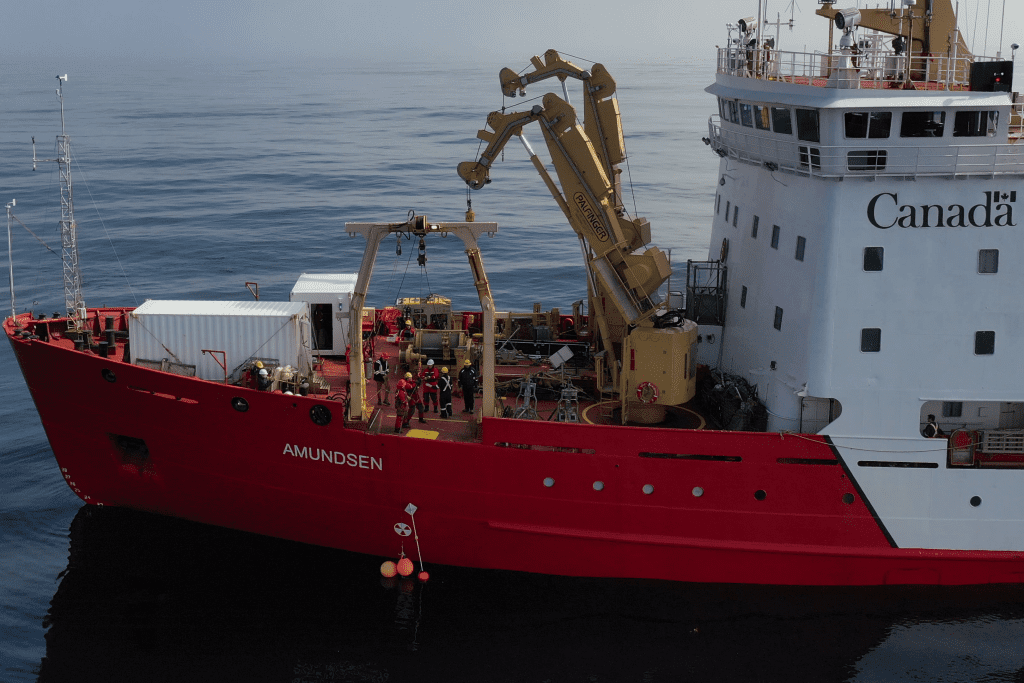
This Leg supported four programs including KEBABB program which focused on comprehending the connected system of the atmosphere-ice-ocean, and how ongoing changes impact marine ecosystems. During this Leg, one of the biggest catches on the CCGS Amundsen was realized with the beam trawl net in the North Water Polynya.
LEG 3 – ARCTICCORE, ARCTICNET AND NOW SURVEY
(7 September – 5 October) Resolute Bay to Resolute Bay
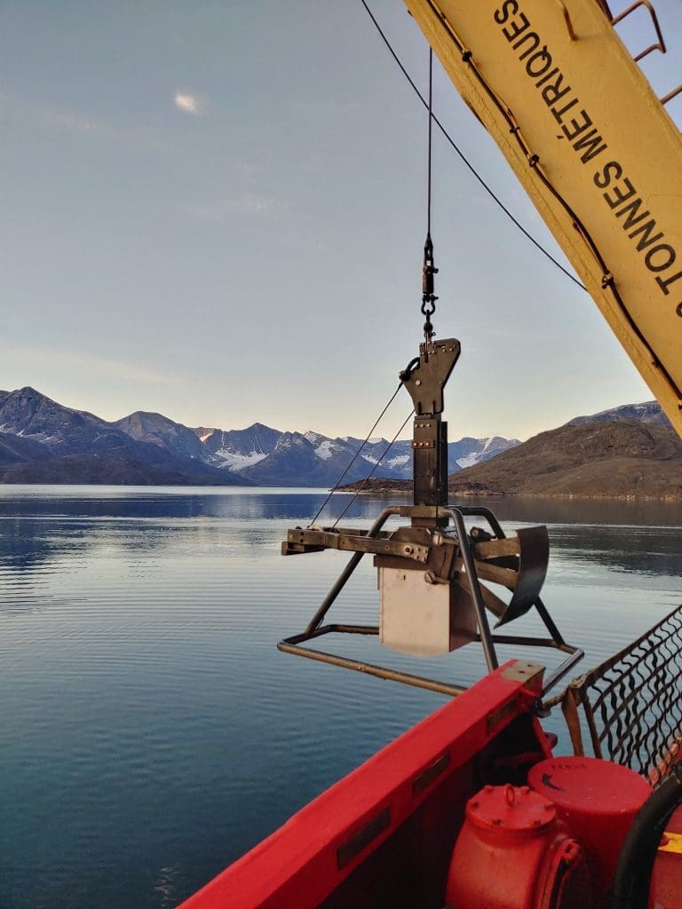
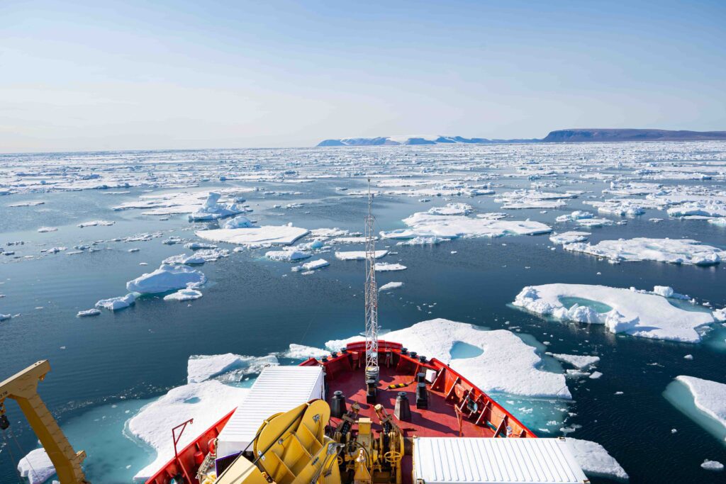
During this Leg, the Amundsen occupied historical and monitoring transects in Nares Strait, Grise and Archer Fjords, Jones Sound, Talbot Inlet and Belcher and Crocker Bay Glaciers and reached the latitude of 82°09.32’N in the Lincoln Sea. Besides, 37 members of the Grise fjord community were welcomed on board the ship for a guided tour of the CCGS Amundsen and its pool of scientific equipment.
LEG 4 – FOXSIPP AND ARCTICNET
(5 – 26 October) Resolute Bay to Québec City
During this Leg, the Amundsen retraced its way back while conducting sampling activities in various locations, including the Gulf of Boothia, Fury and Hecla Strait, Foxe Basin, Hudson Strait, and Labrador Sea.
