Reaching Lincoln Sea – a story
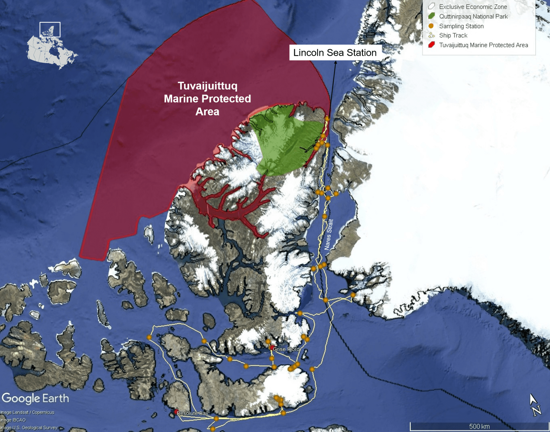
Reaching the Tuvaijuittuq MPA in Lincoln Sea was not straight forward. The scientific operations and research objectives related to this area of interest had only been planned for the third Leg of the 2023 Amundsen Expedition. By planning these operations two months after the start of the expedition, it was possible to cover the 4,500km separating Quebec City, the icebreaker’s home port, from this northern latitude, while sharing resources and ship-time between the various research interests on board.
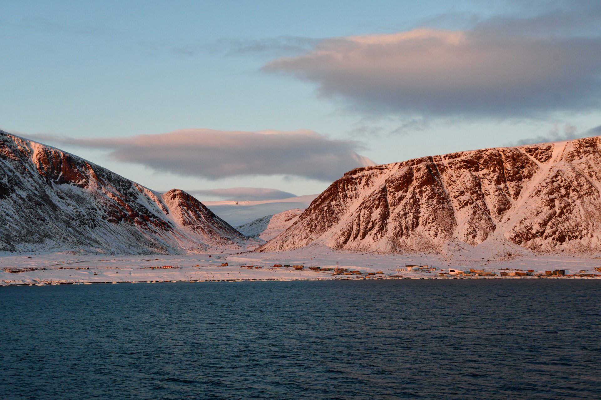
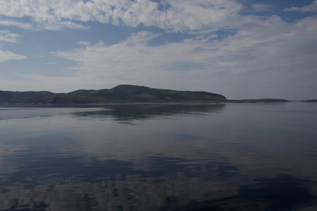
On September 7th, scientists and crew members for Leg 3 boarded the ship in Resolute Bay. We started by transiting through Lancaster Sound, and after a few sampling operations on the east coast of Devon Island, it was decided that we would change plan and move north right away, trying to reach Lincoln Sea as soon as possible. Everybody onboard hoped that this plan would work, but some had doubts because of the ice conditions on the way. I remember looking at satellite images from previous years, comparing with the conditions that we were facing at that time, and not knowing if we would be able to reach our northernmost sampling station. All I knew was: we were going to see a lot of sea ice!
Luckily, Alexandra, a sea ice specialist working for Environment Canada, was onboard to help us navigate these waters. Based on her previous experience and specialized knowledge, Alexandra explained that sea ice conditions are strongly influenced by atmospheric high-pressure systems and the resulting winds in the High Arctic. As we were transiting in hope to reach Lincoln Sea rapidly, we saw from imagery that thick ice seemed to be present in the north and was blocking the access to Lincoln Sea. Our chief scientists Maxime Geoffroy and Audrey Limoges had to adapt the plan another time: we were going to visit Archer Fiord first, and hope that the conditions change in our favor while we were sampling. After a full day of sampling in the fiord, the winds had shifted and most of the ice floes were now on the eastern side of the strait. By staying on the western side, we would avoid most of the ice and should reach our northernmost sampling station in a few hours!
-
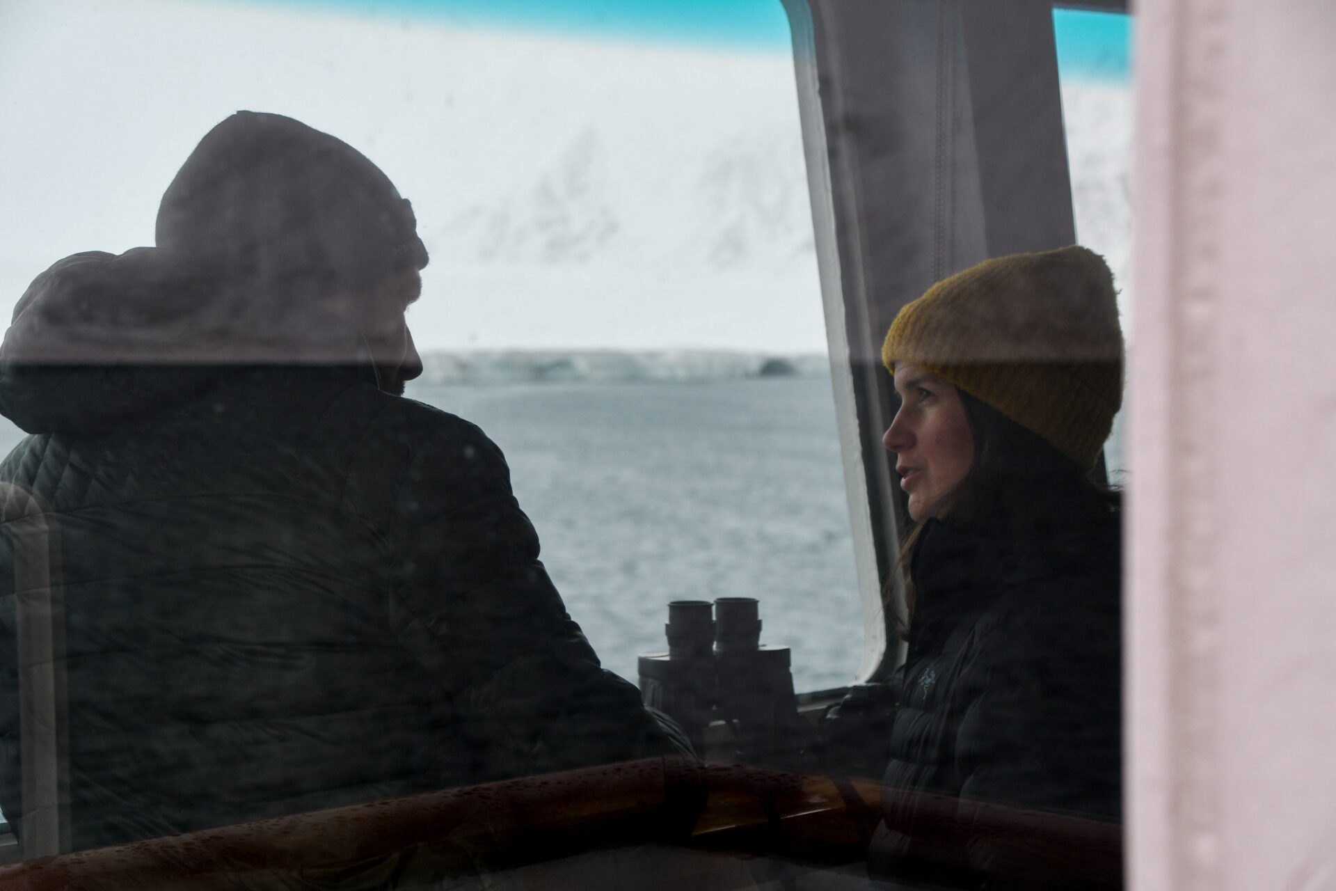
Chief scientists Maxime Geoffroy, Associate Professor at Memorial University of Newfoundland and Labrador, and Audrey Limoges, Associate Professor at University of New Brunswick, discussing the expedition plan at the wheelhouse.
-
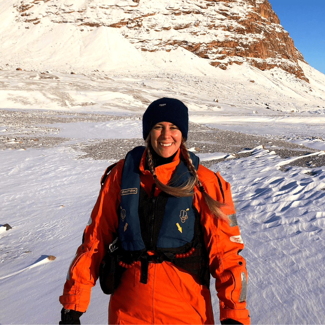
Alexandre Cournoyer, Sea ice specialist
Credit : Alexandra Cournoyer
-
Credit : Alexandra Cournoyer
-
Credit : Alexandra Cournoyer
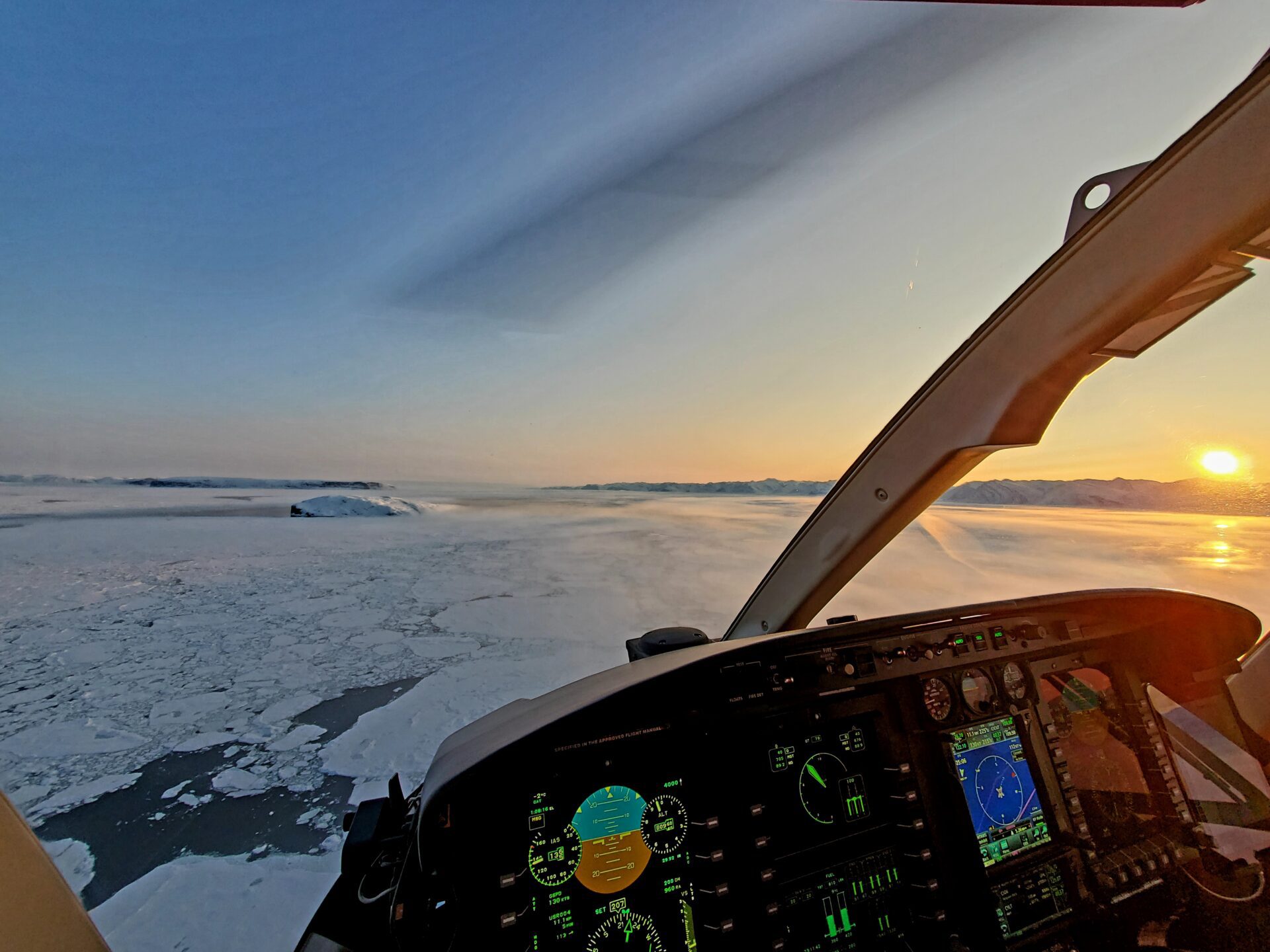
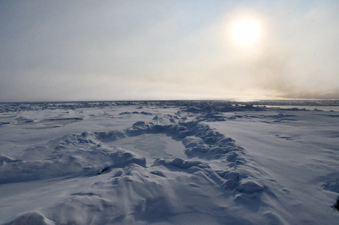
The excitement was tangible! The scientists and the crew members alike were eager the reach Lincoln Sea. As we transited, the passage was getting narrower and we could see both Ellesmere Island and Greenland at the same time from the wheelhouse. It was getting late, but it was almost as clear as day. Only the clock and some the tired eyes proved that it was almost midnight. After a while, we finally saw a while thick line of sea ice blocking the horizon from Canada to Greenland. We had reached the limit of the multi-year ice pack and the entrance of Lincoln Sea!
The feeling out there was truly unique. We were able to see with our own eyes some of the thickest and oldest sea ice of the Arctic. I had to attend my scientific duties soon, but I took the time to go outside to feel the cold wind and immerse myself in the landscape. My gaze moved over the harsh relief of the ice and I felt an immense respect for the people using this territory for hunting and travel.
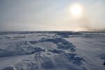
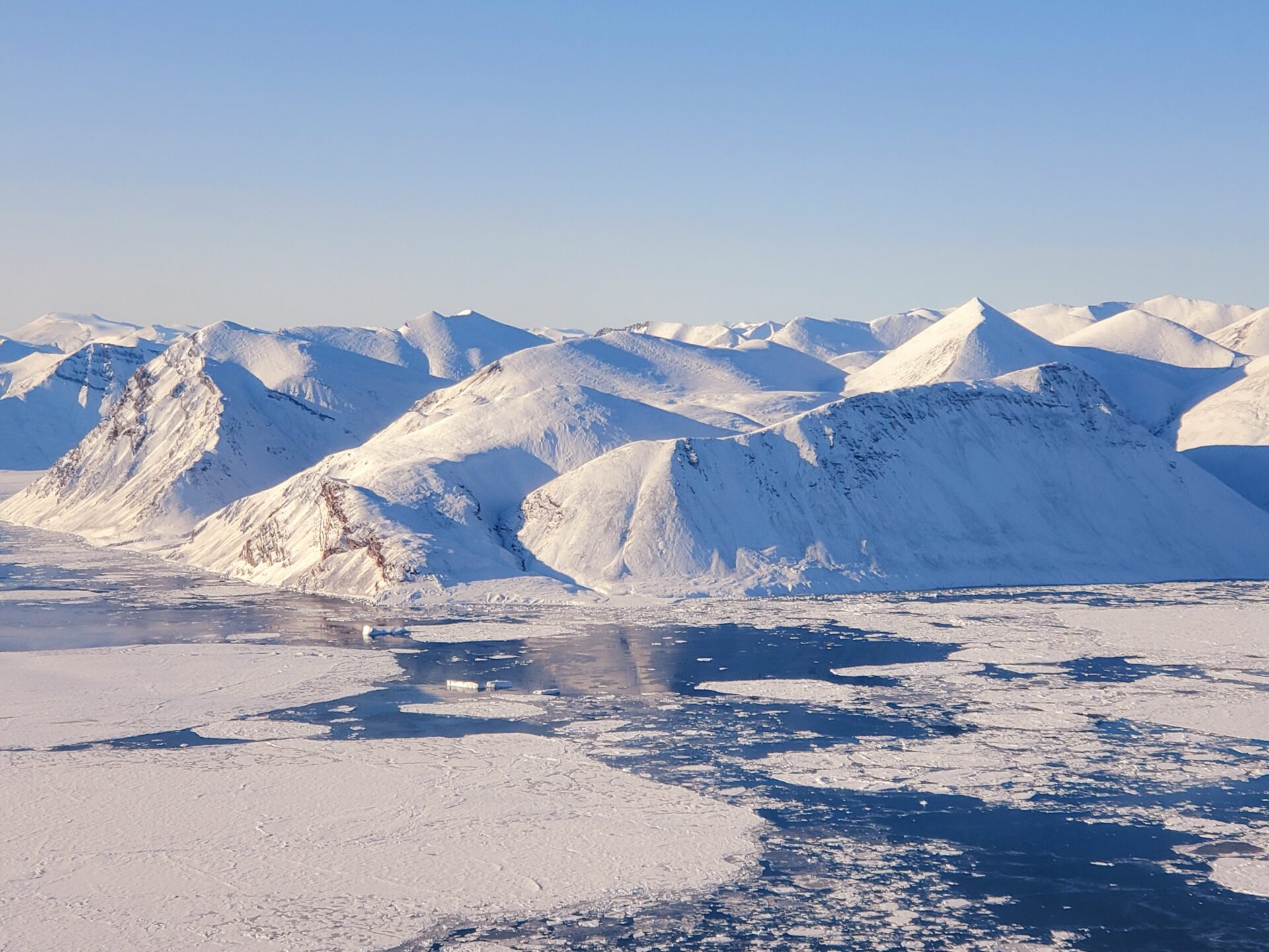
Sea ice observed during Leg 3. During summer, above freezing temperature caused a melt pond to form, which then froze again as fall begun (center of the picture). The pressure of the dynamic ice also formed small “ice mountain chains” called pressure ridges.
The sampling
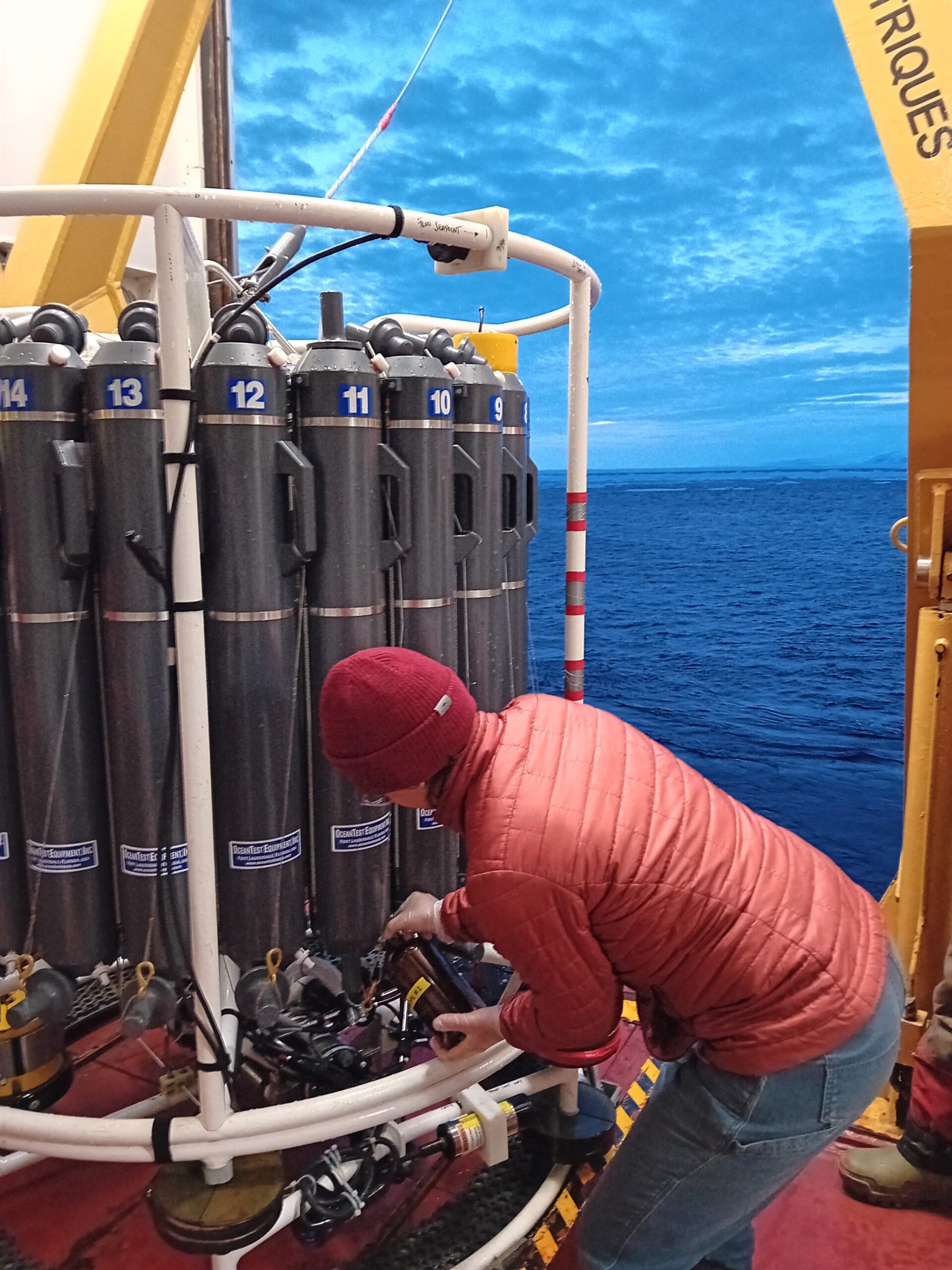
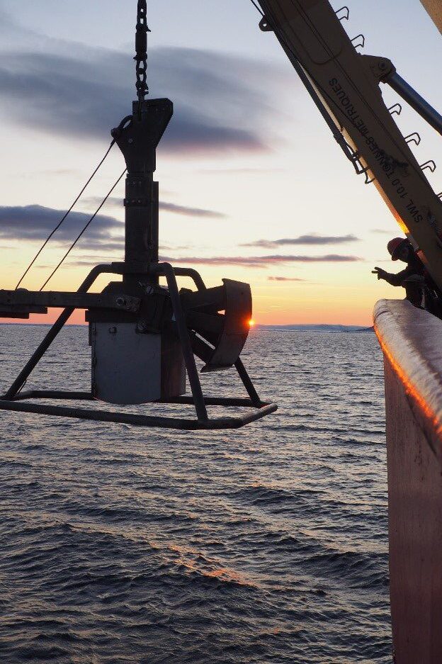
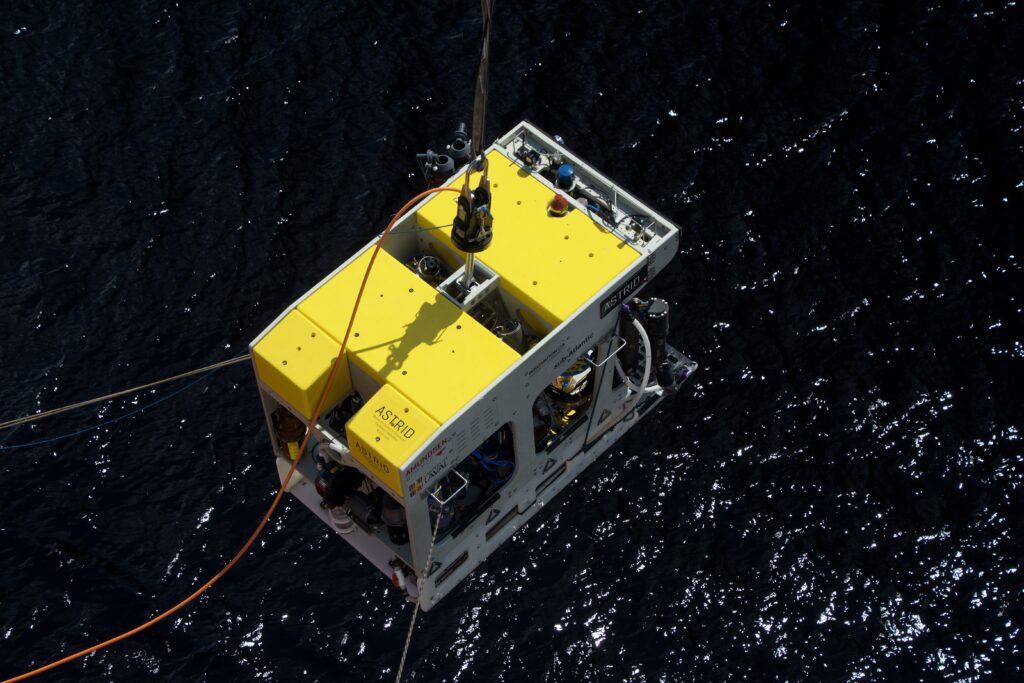
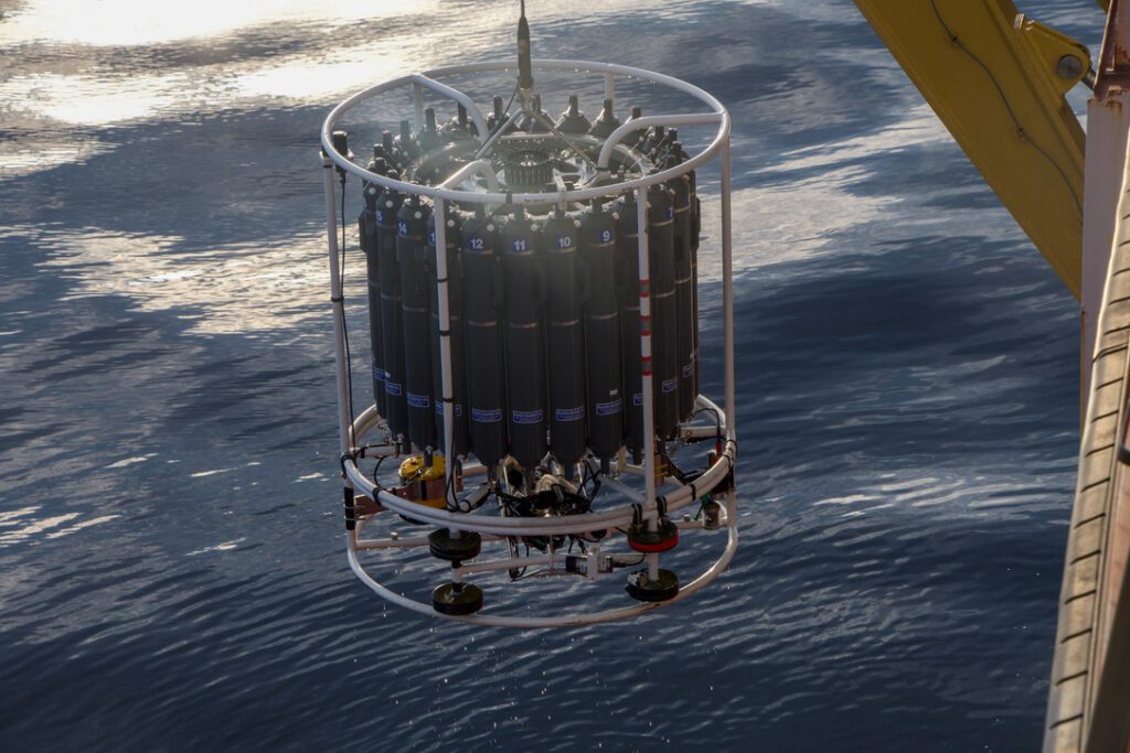
As the CCGS Amundsen was positioned in Lincoln Sea, we were finally ready to perform our sampling operations. We planned to deploy a suite of sensors and samplers to inform on the present conditions such as the physical oceanography, the marine productivity and the sediments. We generally deploy the CTD-Rosette first to avoid mixing the water column too much. With the help of colleagues and the CCG crew members, I deployed the CTD-Rosette to collect seawater at various depths of the water column and to measure physicochemical parameters. It was then time for scientists to deploy three nets: the multi-net Hydrobios, the Tucker net and the phytoplankton net. Few specimens were collected, mostly zooplankton. Next, we mapped the seafloor with echo-sounders to find a suitable location for coring. We were looking for a region with deep sediments and the smallest amount of rocks possible, as it can damage the instruments or prevent their penetration in the seafloor. After a while, we were finally able to deploy two box cores to collect sediments at the surface of the seafloor with minimal disturbance, and one gravity corer, which collected a 2-m long sediment core. Various experiments such as DNA and microfossil analyses will be conducted on these cores to help geologists understand the climate and oceanographic conditions of the past.
This entire sampling strategy is great to understand the past and the present, but even more information is needed to figure the trends and annual cycles present in the ecosystem. Moorings are composed of a suite of sensors and buoys deployed for a long time-period. It makes them the perfect tools to study the ecosystem yearlong. In our case, we deployed one mooring line equipped with sensors to measure the water temperature and salinity, its organic matter and oxygen content and the currents. A hydrophone was also on the line to listen to the noises in the ocean, and a sediment trap will help scientists understand the annual sedimentation process in the area. These instruments should all be recovered during the 2024 Amundsen Expedition.
Looking into the future
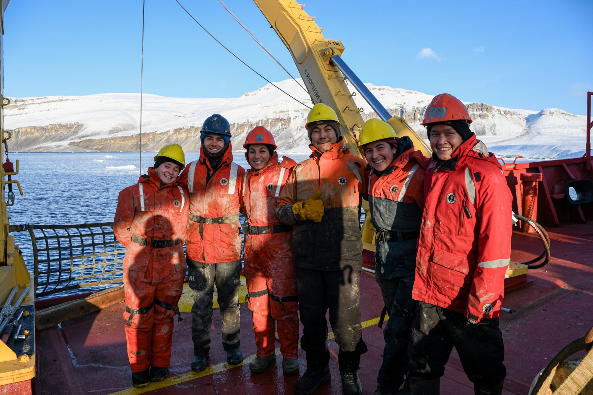
Once the operations in Lincoln Sea were completed, the icebreaker and the teams onboard continued their journey through Nares Strait, Jones Sound and at the interface between glaciers and oceans. Overall, we were able to study the complex marine environment of the High Arctic at 45 sampling stations during Leg 3. We also spent a full day in Grise Fiord, Canada’s northernmost community, where 37 people boarded the ship to visit the icebreaker and its laboratories. This exchange opportunity was positively received by both the expedition participants and the community members, and contributed to make this trip even more special.
About a week later, most of the participants disembarked the ship in Resolute Bay to go back home and to give room for the scientists boarding for the fourth and last Leg. But in the plane, just when we thought our voyage was over, we were gifted with one last Arctic scenery as northern lights danced above the plane.
Although we are all back home and the ship has returned to Quebec City, the work done in Lincoln Sea is not over. In the laboratories, researchers and students analyze the samples collected in the Arctic. For some experiments, it is the data analysis that has yet to be completed. For all projects, preliminary reports were written and are currently being compiled into an expedition report no publicly available. However, the data collected from the mooring instruments cannot be accessed until the mooring is physically recovered. This will need to happen next summer, when the CCGS Amundsen sails north once again for an even more ambitious mission in Nares Strait and Lincoln Sea.
As we explained earlier, Lincoln Sea is a unique environment and could become an important summer habitat for ice-dependent species in the future such as seals, walrus and polar bears as the sea ice retreats. However, for that to happen, large-scale human activities such as tourism or resources exploitation must be controlled. This is why protecting Tuvaijuittuq is so important. The data collected during the 2023 Amundsen Expedition contributes to building knowledge about this ecosystem, providing baseline data and contributing to the development of protection strategies, which is even more important as 2024 marks the end of the interim protection status of the Tuvaijuittuq MPA.