A data paper is a peer-reviewed document, which describes a dataset in a scholarly journal. It provides information on the data collection and quality control processes instead of formulation hypotheses and conclusions. As the organization managing the scientific mandate of the CCGS Amundsen, Amundsen Science is an important data producer of the Canadian Arctic marine ecosystem.
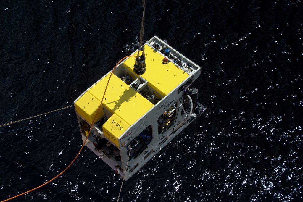
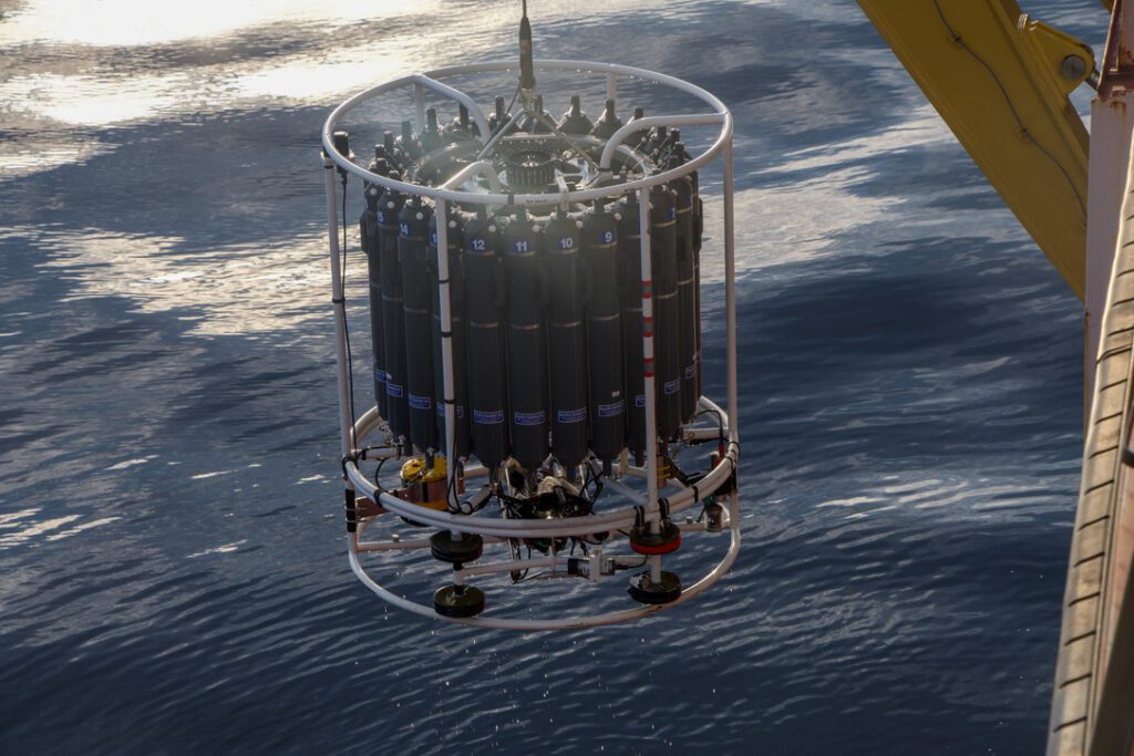
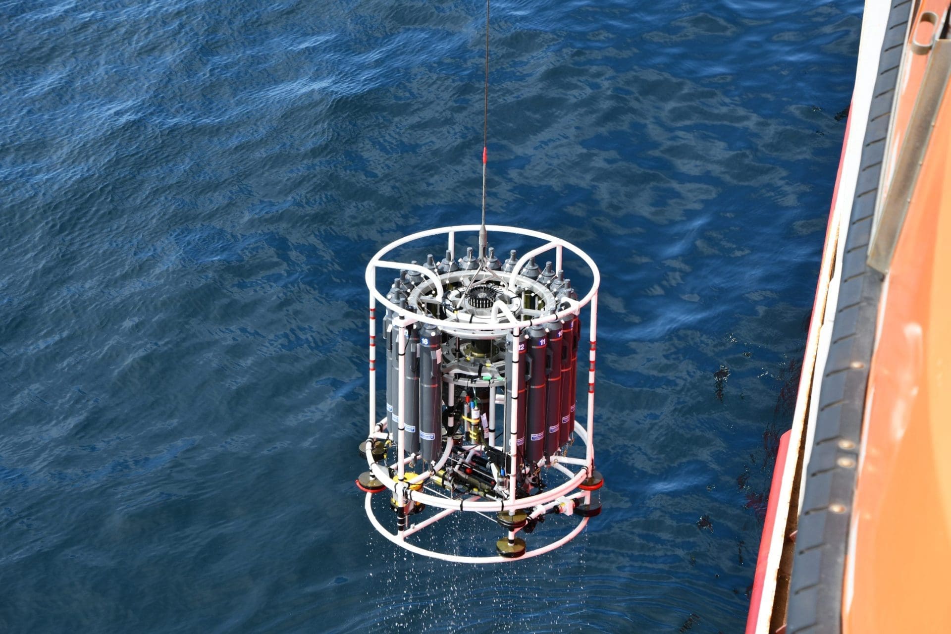
During the 122 days of the 2021 Amundsen Expedition, the icebreaker sailed over 30 000 km across the Canadian Arctic and sub-Arctic, collecting sea surface, atmospheric and seabed underway measurements. Two hundred and sixty-six casts of the CTD-Rosette were also conducted to monitor the main physical, chemical and biological parameters of the water column. Various datasets collected by our organization during this cruise are presented in a data paper currently under review in the Earth System Science Data journal. This article by Ratsimbazafy et al. is a meaningful project on which a big part of our team worked on for the past years.
In this data paper, changes in salinity, temperature and oxygen can be observed through lines of stations across Davis Strait, in the North Water Polynya and near Cape Bathurst. Thanks to these lines of data, the authors were able to identify and highlight the most important water masses of the Canadian Arctic. The authors also present bathymetric data collected in Smith Bay, at the terminus of Mittie Glacier. This area was previously uncharted; therefore, the safety and efficiency of future operations will be enhanced by this hydrographic survey. All the dataset presented by Ratsimbazafy et al. are publicly available, in agreement with Amundsen Science’s data policy. More information about the past cruises can also be found in the expedition reports and summaries.
Click here to consult the data paper.