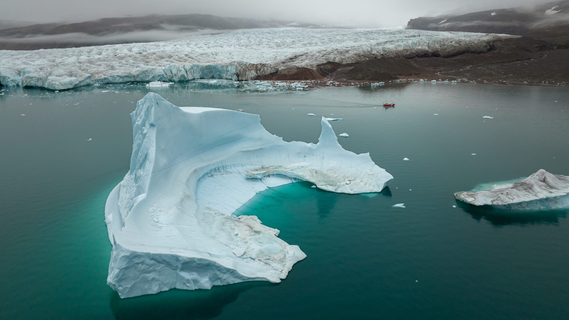
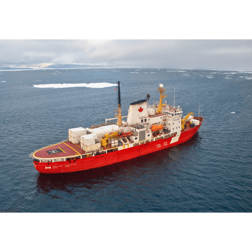
In paleogeography, scientists use hints left on the sea floor to uncover the past and learn more about the important periods such as the Last Glacial Maximum, a cold climatic period which spanned 29,000 to 19,000 years ago. Recently, new sea floor geographical data have provided evidence for the maximal extent of the Laurentide Ice Sheet margin during that time. Alexis Belko and his colleagues have used data collected using a multibeam echosounder onboard the CCGS Amundsen in 2003–2021 and the CCGS Hudson in 2018.
More specifically, the team of scientists looked at the maximum ice extent in Broughton and Merchants troughs, both situated in the Laurentide Ice Shelf of Baffin Bay during the Last Glacial Maximum. Despite the fact that these two troughs are geographically close to each other, they had different ice dynamics and ice partitioning.
On collected images, they observed various landforms that indicate the previous movements and activity of glaciers, and the margin of the ice sheets in both of these troughs. While the maximum extent of sea ice in the Merchants Trough appeared to be located near the mouth of the modern fjords, the maximum extent of sea ice in the Broughton Trough appeared to be located about 5 km from the edge of the continental shelf. As the Laurentide Ice Sheet of the past is equivalent to present-day Greenland and Antarctica, the authors of the article suggest that understanding the past glaciation/deglaciation patterns could help anticipate the response of present-day ice sheets to climate disruption.


