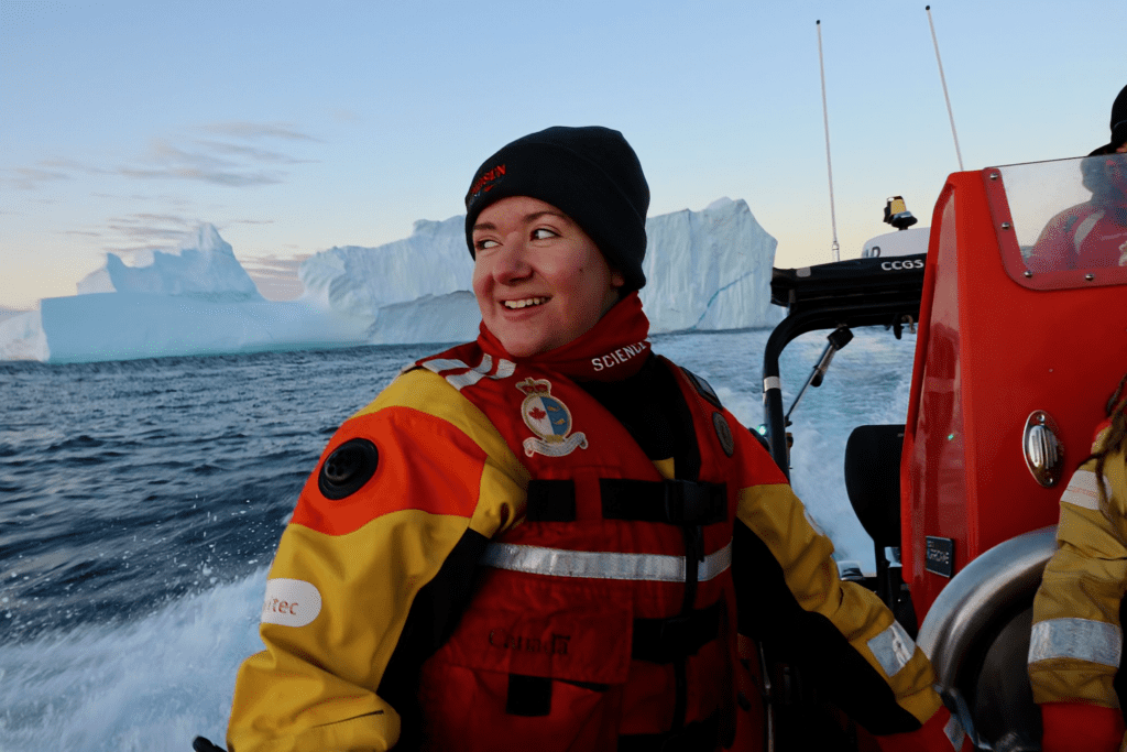
Eureka, September 19, 2025 – A multidisciplinary group of scientists have reached the Queen Elizabeth Islands and Tuvaijuittuq Marine Protected Area as part of the 2025 Amundsen Expedition. Leg 4 of this Expedition began on September 4th as the ship set sail into ice-covered waters of the northernmost regions of the Canadian Arctic Archipelago, a first for the research icebreaker in more than 20 years of operations.
“This is the first time the CCGS Amundsen will sail into these waters, providing a really unique opportunity. As a sea ice scientist, I’m most intrigued by the multiyear ice that flows into the region from the Arctic Ocean, this is some of the oldest and thickest ice in the Arctic”, says David Babb, Research Associate at the Centre for Earth Observation Science (CEOS), University of Manitoba.
The Queen Elizabeth Islands Survey is a program led by the University of Manitoba and Fisheries and Oceans Canada. It aims to gain knowledge about freshwater pathways, ice-ocean interactions, changing ice conditions and existing pressures on the ecosystem in an area that has rarely been sampled. The presence of thick, multiyear sea ice usually has limited access to this remote region, but careful preparation and adapting to on-site conditions maximized the chances of success of this innovative program.
“Up until now, knowledge about the many components of this ecosystem and its members were more of an educated guess based on observations from other Arctic regions. With a fully equipped science vessel like the Amundsen, we can finally perform an in-depth characterization of this sea ice and ocean environment that is facing rapid change. The new data will help us to identify key species and how resilient they are to withstand increasing pressures”, mentioned Lisa Matthes, Research Scientist at Fisheries and Oceans Canada.
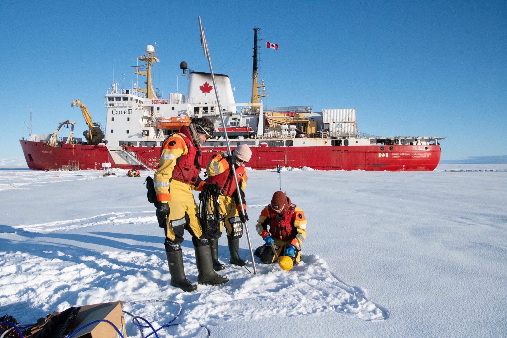
Onboard the Amundsen scientists have carried out various operations with the help of the Canadian Coast Guard crew such as sampling sea ice, mapping the seafloor, collecting sediment cores, sampling water and surveying the various members of the Arctic food web. Surveys of distant ice islands and glaciers calving into the fjords of Tuvaijuittuq were also conducted to track ice movement and to complete the multifaceted survey of Canada’s High Arctic and the Queen Elizabeth Islands. This program seeks to provide a comprehensive baseline for future work in this changing environment and unique ecosystem that continues to be covered by sea ice throughout much of the year. It will allow the scientific community to build new knowledge about this remote region and will feed into future predictions about the ecosystem in the lasting ice area in a warmer climate.
Leg 4 will conclude in Resolute Bay for a science day on October 2nd. Scientists within the Queen Elizabeth Islands program will use the opportunity to visit the community’s school to share their fresh observation and to provide insights into their scientific operations.
Download the full press release